15 WHITNEY ST
Owner Information
CHYSNA,RICHARD J
15 WHITNEY ST
WORCESTER, MA 01610


Property Details
15 WHITNEY ST is classified as a Three-Family Residential (Three family).
The primary structure on this property was built in 1890. There are 3,938ft2 of built area within this property. There is 2,358ft2 of residential/living space within this property. This property is listed as having 12 rooms.
15 WHITNEY ST is valued at $248,300. The land is valued at $36,400 and the structures are valued at $204,100. There is an additional valuation of $7,800 on this property.
This property is in Zone RG-5. Confirm with local Zoning Board authorities to ensure there are no overlays or other easements on this property.
The most recent deed for 15 WHITNEY ST is recorded at the local registrar in Book 52992, Page 0237. 15 WHITNEY ST was last sold on Friday, October 31, 2014 for $100.
Assessment data from fiscal year 2021.
Flood Data
According to the FEMA National Flood Hazard Layer, this property does not appear to be in a flood zone. It may also be in an area not yet reviewed. Nonetheless, confirm this information prior to taking any action.
To view the flood hazards around this property, create a FEMA "Firmette" Map of the area around 15 WHITNEY ST.
Broadband Internet Providers
| Provider | Type | Bandwidth (mbps) | |
|---|---|---|---|
| Charter Communications Inc | Cable | 940 | 35 |
| Verizon New England Inc. | DSL | 7 | 0 |
| Viasat Inc | Satellite | 100 | 3 |
| VSAT Systems, LLC. | Satellite | 2 | 1 |
| HughesNet | Satellite | 25 | 3 |
| GCI Communication Corp. | Satellite | 0 | 0 |
| T-Mobile | Fixed Wireless | 25 | 3 |
Broadband service provider data from December 2020.
Adjacent Properties
- 19 WHITNEY ST
Three-Family Residential owned by MENDOZA,JUAN A - 13 WHITNEY ST
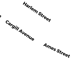
Single Family Residential owned by PERCH,JOHN C - 6 SOUTH HARLEM ST
Three-Family Residential owned by AT + DP REALTY LLC - 8 SOUTH HARLEM ST
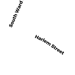
Three-Family Residential owned by HARLEM STREET REALTY TRUST - 24 SOUTH WARD ST
Improved, Education (Municipal or County) owned by CITY OF WORCESTER SCHOOL DEPT